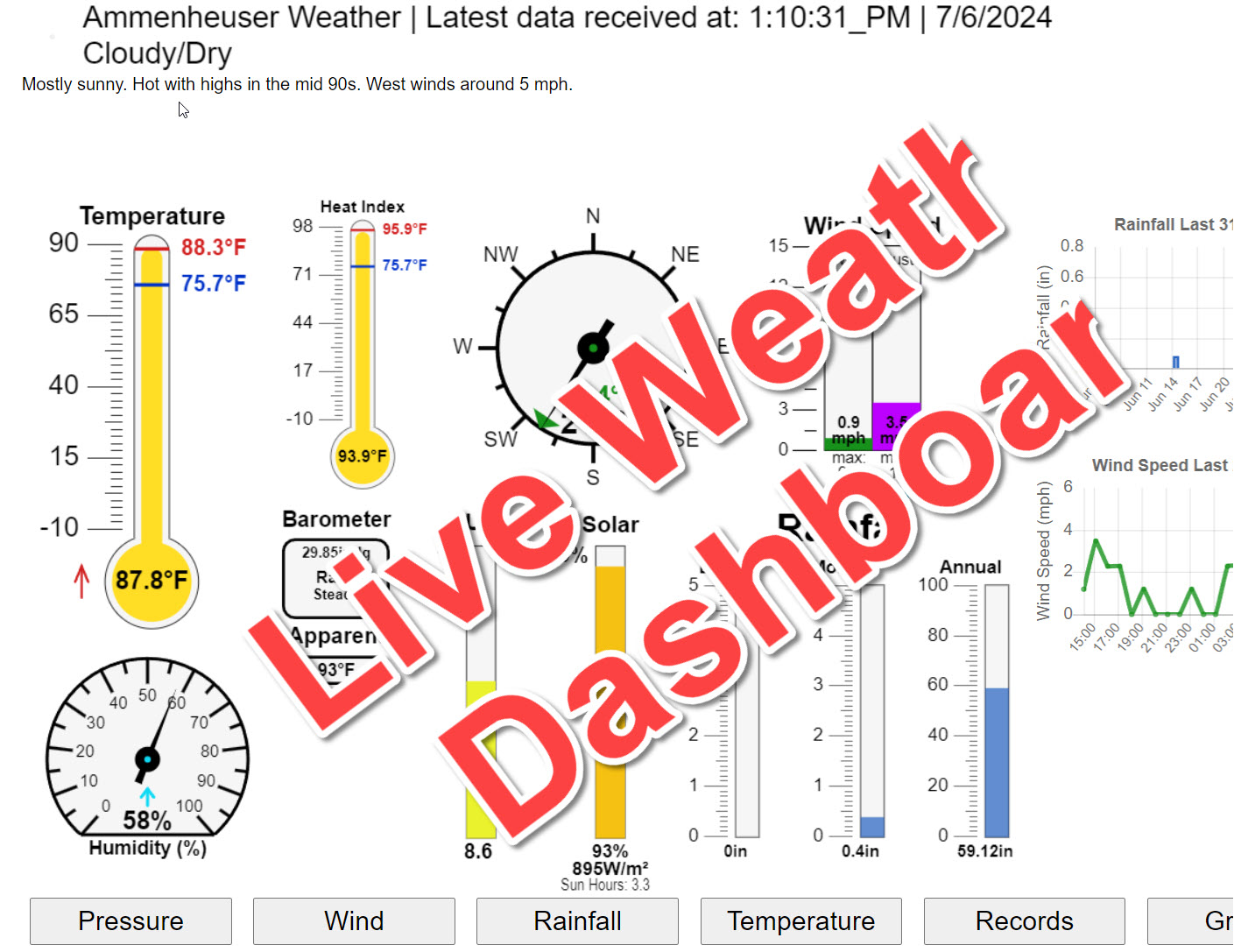
14 h 53 m 38 s of Sunlight Yesterday 14 h 52 m 49 s of Sunlight Today
Which is 49 sec shorter than yesterday 14 h 51 m 59 s of Sunlight Tomorrow (Noon ?>)(Midnight
1 Rain season: Jan 1st to Dec 31st.
5 Estimated amount of water needed to replace the water used by plants and evaporation from the past week. (Negative numbers mean amount of water needed, positive numbers mean excess water is present).
6 Air Quality Index is provided by Minnesota Polution Control Agency and is updated hourly between the hours of 6AM and Midnight.
9 Solar Index represents either an absolute scale of solar energy (W/m²) using the station’s recorded maximum or a percentage of computed theoretical solar maximum using the station’s location and time of day. These indices differ most when the sun is low on the horizon. The current scale is shown, and will toggle if it or the icon is clicked.
10 Historical average only to day 5 of just the month of July for this station since 2009.
11 Historical average rain this season to day 5 of July for this station since 2009.
NWS Weather Forecast -
Outlook This Afternoon & Tonight
This Afternoon Chance Showers And T-Storms
Hi 92°F
NWS forecast: A chance of showers and thunderstorms after 2pm. Partly sunny, with a high near 92. Southeast wind around 5 mph. Chance of precipitation is 60%. New rainfall amounts between a quarter and half of an inch possible. WXSIM forecast: Partly cloudy. A slight chance of rain. Scattered thunderstorms likely. Hot. High 93°. UV index up to 9. Wind south around 3 mph. Chance of precipitation 20 percent. Precipitation mostly less than a tenth of an inch. Local station forecast:Increasing clouds with little temp change.
Tonight
Showers And T-Storms
Lo 69°F
NWS forecast: Showers and thunderstorms before 7pm, then a chance of showers and thunderstorms between 7pm and 8pm, then a chance of showers and thunderstorms between 8pm and 9pm, then patchy fog and a chance of showers and thunderstorms between 9pm and 11pm, then patchy fog and scattered showers and thunderstorms between 11pm and midnight, then patchy fog and a chance of showers and thunderstorms between midnight and 2am, then patchy fog and scattered showers and thunderstorms. Mostly cloudy, with a low around 69. East wind around 5 mph. Chance of precipitation is 80%. New rainfall amounts between a half and three quarters of an inch possible. WXSIM forecast: Mostly cloudy to cloudy in the evening, becoming mostly cloudy after midnight. Light to moderate fog in the evening, then patchy light fog after midnight. Rain likely in the evening, then a slight chance of rain after midnight. Scattered thunderstorms likely. Low 71°. Wind north-northeast near calm. Chance of precipitation 80 percent. Precipitation mostly between half an inch and one inch.
NWS Short Term Weather Forecast
Monday
Patchy Fog
Monday Night Showers And T-Storms Likely then Showers And T-Storms
Tuesday
Showers And T-Storms Likely
Tuesday Night Showers And T-Storms Likely then Chance Showers And T-Storms
Wednesday
Slight Chance Rain Showers then Slight Chance Showers And T-Storms
Wednesday Night Slight Chance Showers And T-Storms then Partly Cloudy
Thursday
Partly Sunny then Chance Showers And T-Storms
Hi 83°F
Lo 67°F
Hi 82°F
Lo 66°F
Hi 83°F
Lo 67°F
Hi 87°F
ajax-dashboard6.php - Version 6.95h - 20-Feb-2023 - Script by: Scott of BurnsvilleWeatherLIVE.com
Now supported by Saratoga-weather.org Download

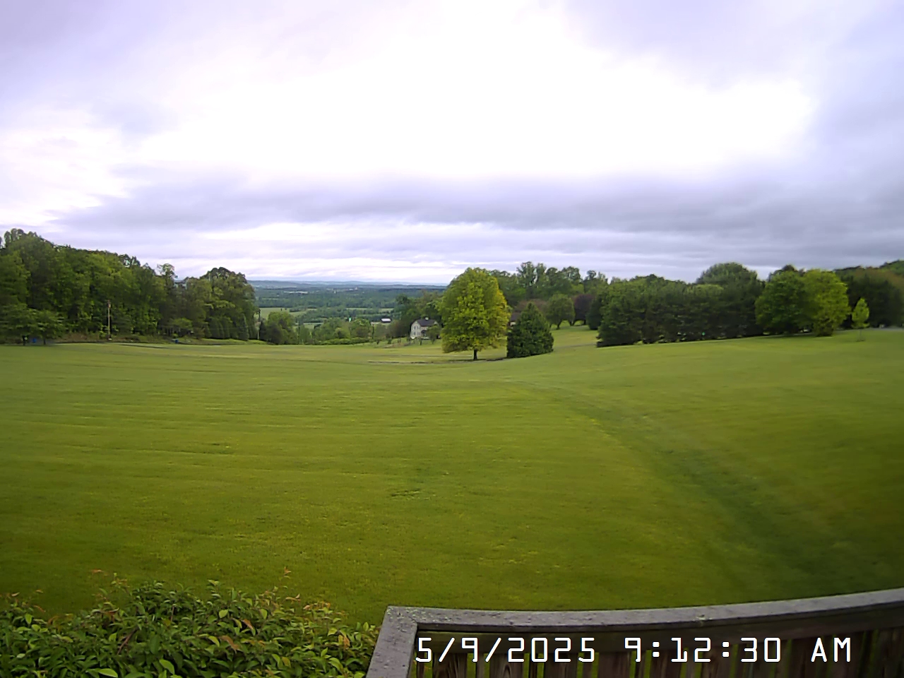 View South
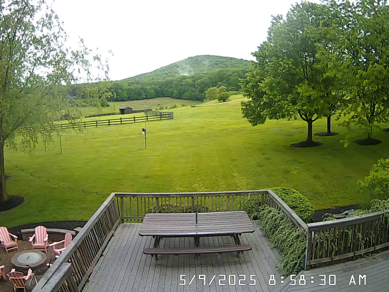 View West