Maximum Temperature Last 24h. 08/01/2026 at 23:00 UTC
| No. |
Location |
Station ID |
Amount |
|
1 |
Phoenix, Phoenix Sky Harbor International Airport (United States) |
72278&wigos=0-20000-0-72278 |
114.1°F
|
|
2 |
Las Vegas, Mccarran International Airport (United States) |
72386&wigos=0-20000-0-72386 |
113.0°F
|
|
3 |
Mercury, Desert Rock Airport (United States) |
72387&wigos=0-20008-0-DRA |
109.0°F
|
|
4 |
Tucson, Az (United States) |
72274&wigos=0-20000-0-72274 |
106.0°F
|
|
5 |
Kingman, Kingman Airport (United States) |
72370&wigos=0-20000-0-72370 |
105.1°F
|
|
6 |
Bishop, Bishop Airport (United States) |
72480&wigos=0-20000-0-72480 |
104.0°F
|
|
7 |
El Paso, El Paso International Airport (United States) |
72270&wigos=0-20000-0-72270 |
104.0°F
|
|
8 |
Havre, Havre City-County Airport (United States) |
72777&wigos=0-20000-0-72777 |
104.0°F
|
|
9 |
Page, Page Municipal Airport (United States) |
72371&wigos=0-20000-0-72371 |
104.0°F
|
|
10 |
Roswell, Roswell Industrial Air Center Airport (United States) |
72268&wigos=0-20000-0-72268 |
104.0°F
|
|
11 |
Wichita Falls, Sheppard Air Force Base (United States) |
72351&wigos=0-20000-0-72351 |
104.0°F
|
|
12 |
Billings, Billings Logan International Airport (United States) |
72677&wigos=0-20000-0-72677 |
102.9°F
|
|
13 |
Fresno, Fresno Air Terminal (United States) |
72389&wigos=0-20000-0-72389 |
102.9°F
|
|
14 |
Redding, Redding Municipal Airport (United States) |
72592&wigos=0-20000-0-72592 |
102.9°F
|
|
15 |
Sheridan, Sheridan County Airport (United States) |
72666&wigos=0-20000-0-72666 |
102.9°F
|
| Script courtesy of Michael Holden of
Relay Weather. Data courtesy of Ogimet |
Minimum Temperature Last 24h. 08/01/2026 at 23:00 UTC
| No. |
Location |
Station ID |
Amount |
|
1 |
King Salmon, King Salmon Airport (United States) |
70326&wigos=0-20000-0-70326 |
42.1°F
|
|
2 |
Adak Island, Adak Airport (United States) |
70454&wigos=0-0-0-MISSING |
44.1°F
|
|
3 |
Bettles, Bettles Airport (United States) |
70174&wigos=0-20000-0-70174 |
44.1°F
|
|
4 |
Iliamna, Iliamna Airport (United States) |
70340&wigos=0-20000-0-70340 |
46.0°F
|
|
5 |
Kodiak, Kodiak Airport (United States) |
70350&wigos=0-20000-0-70350 |
46.0°F
|
|
6 |
Mcgrath, Mcgrath Airport (United States) |
70231&wigos=0-20000-0-70231 |
46.0°F
|
|
7 |
Fort Yukon, Fort Yukon Airport (United States) |
70194&wigos=0-20000-0-70194 |
48.0°F
|
|
8 |
Mount Washington (United States) |
72613&wigos=0-20000-0-72613 |
48.0°F
|
|
9 |
Alamosa, San Luis Valley Regional Airport (United States) |
72462&wigos=0-20000-0-72462 |
48.9°F
|
|
10 |
Burns, Burns Municipal Airport (United States) |
72683&wigos=0-20000-0-72683 |
48.9°F
|
|
11 |
Craig, Craig-Moffat Airport (United States) |
72570&wigos=0-20000-0-74421 |
48.9°F
|
|
12 |
Ely, Ely Airport (United States) |
72486&wigos=0-20000-0-72486 |
48.9°F
|
|
13 |
Aniak, Aniak Airport (United States) |
70232&wigos=0-20000-0-70232 |
50.0°F
|
|
14 |
Casper, Natrona County International Airport (United States) |
72569&wigos=0-20000-0-72569 |
50.0°F
|
|
15 |
Nome, Nome Airport (United States) |
70200&wigos=0-20000-0-70200 |
50.0°F
|
| Script courtesy of Michael Holden of
Relay Weather. Data courtesy of Ogimet |
Maximum Precipitation Last 24h. 08/01/2026 at 23:00 UTC
| No. |
Location |
Station ID |
Amount |
|
1 |
Phoenix, Phoenix Sky Harbor International Airport (United States) |
72278&wigos=0-20000-0-72278 |
1.60 in
|
|
2 |
Las Vegas, Mccarran International Airport (United States) |
72386&wigos=0-20000-0-72386 |
1.52 in
|
|
3 |
Tucson, Az (United States) |
72274&wigos=0-20000-0-72274 |
1.42 in
|
|
4 |
Page, Page Municipal Airport (United States) |
72371&wigos=0-20000-0-72371 |
1.36 in
|
|
5 |
Kingman, Kingman Airport (United States) |
72370&wigos=0-20000-0-72370 |
1.34 in
|
|
6 |
Dallas / Fort Worth, Dallas / Fort Worth International Airport (United States) |
72259&wigos=0-20000-0-72259 |
1.32 in
|
|
7 |
Mercury, Desert Rock Airport (United States) |
72387&wigos=0-20008-0-DRA |
1.30 in
|
|
8 |
Abilene, Abilene Regional Airport (United States) |
72266&wigos=0-20000-0-72266 |
1.27 in
|
|
9 |
Waco, Waco Regional Airport (United States) |
72256&wigos=0-20000-0-72256 |
1.27 in
|
|
10 |
El Paso, El Paso International Airport (United States) |
72270&wigos=0-20000-0-72270 |
1.27 in
|
|
11 |
Wichita Falls, Sheppard Air Force Base (United States) |
72351&wigos=0-20000-0-72351 |
1.26 in
|
|
12 |
Brownsville, Brownsville / South Padre Island International Airport (United States) |
72250&wigos=0-20000-0-72250 |
1.25 in
|
|
13 |
Salt Lake City, Salt Lake City International Airport (United States) |
72572&wigos=0-20000-0-72572 |
1.24 in
|
|
14 |
Del Rio, Del Rio International Airport (United States) |
72261&wigos=0-20000-0-72261 |
1.24 in
|
|
15 |
Bakersfield, Meadows Field Airport (United States) |
72384&wigos=0-20000-0-72384 |
1.24 in
|
| Script courtesy of Michael Holden of
Relay Weather. Data courtesy of Ogimet |

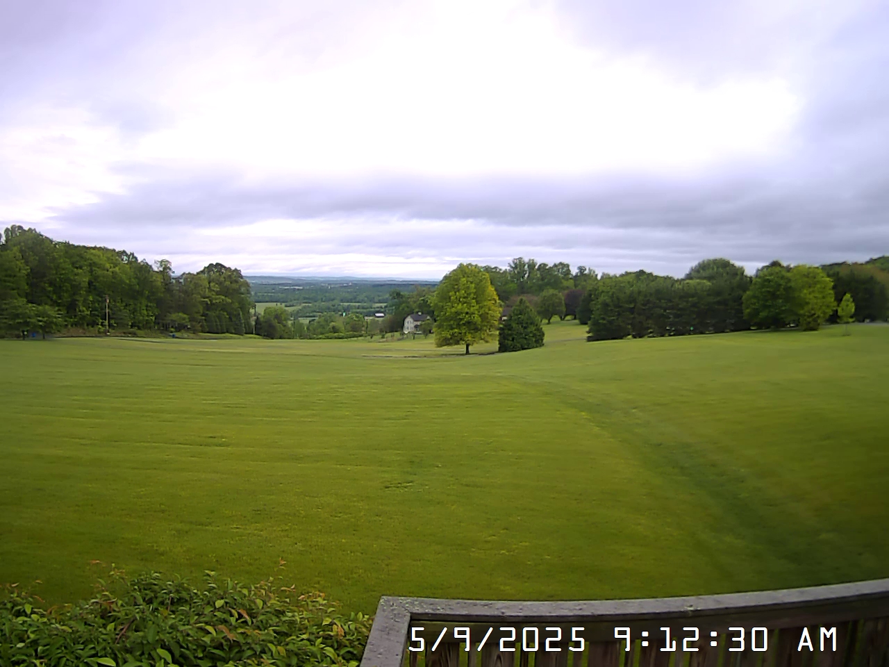 View South
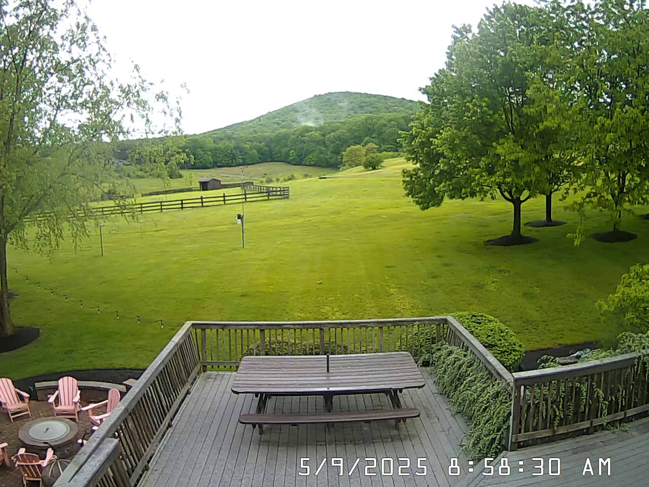 View West