
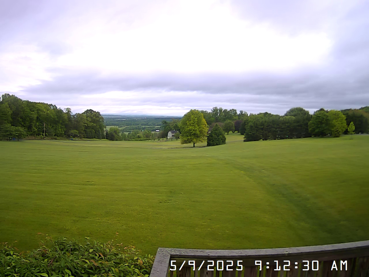
 View South
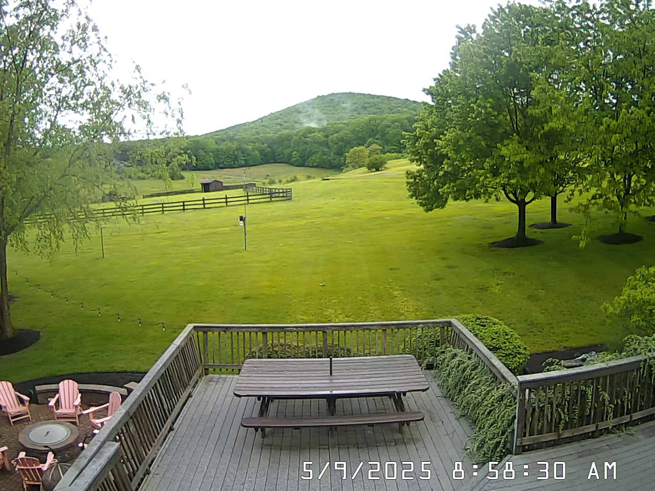 View West


| WXSIM Forecast for:
Thurmont Issued by: Ammenheuser Weather |
||||||||||||||||||||||||||||||||||||||||||||||||
| Updated: Saturday, 01-Aug-2026 05:53 am | ||||||||||||||||||||||||||||||||||||||||||||||||
|


| Today |
Partly cloudy in the morning, becoming partly to mostly cloudy in the afternoon. High 86°. UV index up to 8. Wind south around 3 mph in the morning, becoming 8 mph, gusting to 17 mph, in the afternoon. |
| Tonight |
Mostly cloudy in the evening, becoming cloudy after midnight. Low 71°. Wind southeast around 7 mph, gusting to 16 mph. |
| Sunday |
Cloudy in the morning, becoming dense overcast in the afternoon. Patchy light fog in the afternoon. A slight chance of rain in the morning, then rain likely in the afternoon. Precipitation showery or intermittent. High 79°, but temperatures falling in the afternoon. UV index up to 3. Wind southeast around 6 mph. Chance of precipitation 70 percent. Precipitation mostly between a quarter and half an inch. |
| Sunday night |
Dense overcast. Patchy light fog in the evening, then light to moderate fog after midnight. A chance of rain in the evening, then rain likely after midnight. Precipitation showery or intermittent. Low 68°. Wind south-southeast around 3 mph. Chance of precipitation 80 percent. Precipitation mostly around half an inch. |
| Monday |
Dense overcast in the morning, becoming cloudy in the afternoon. Patchy light fog in the morning. Rain likely. Precipitation showery or intermittent. High 79°. UV index up to 5. Wind southwest around 4 mph. Chance of precipitation 60 percent. Precipitation mostly less than a quarter of an inch. |
| Monday night |
Cloudy in the evening, becoming dense overcast after midnight. Patchy light fog. Rain likely. Precipitation showery or intermittent. Low 69°. Wind south-southwest around 2 mph in the evening, becoming east-northeast after midnight. Chance of precipitation 60 percent. Precipitation mostly less than a quarter of an inch. |
| Tuesday |
Dense overcast. Patchy light fog in the afternoon. A slight chance of rain in the morning, then a chance of rain in the afternoon. Precipitation showery or intermittent. High 75°. UV index up to 3. Wind east around 4 mph. Chance of precipitation 60 percent. Precipitation mostly less than a quarter of an inch. |
| Tuesday night |
Dense overcast. Patchy light fog in the evening. A chance of rain in the evening, then a slight chance of rain after midnight. Low 69°. Wind east-southeast around 2 mph. Chance of precipitation 40 percent. Precipitation mostly less than a tenth of an inch. |
| Wednesday |
Cloudy in the morning, becoming mostly cloudy to cloudy in the afternoon. A chance of rain. Precipitation showery or intermittent. High 83°. UV index up to 6. Wind south-southwest around 2 mph in the morning, becoming 6 mph in the afternoon. Chance of precipitation 30 percent. Precipitation mostly less than a tenth of an inch. |
| Wednesday night |
Mostly cloudy to cloudy in the evening, becoming partly cloudy after midnight. Patchy light fog in the evening, then light to moderate fog after midnight. A chance of rain. Low 70°. Wind south around 7 mph, gusting to 15 mph. Chance of precipitation 30 percent. Precipitation mostly less than a tenth of an inch. |
WXSIM forecast formatting script by Saratoga-Weather.org.
Animated forecast icons courtesy of www.meteotreviglio.com.