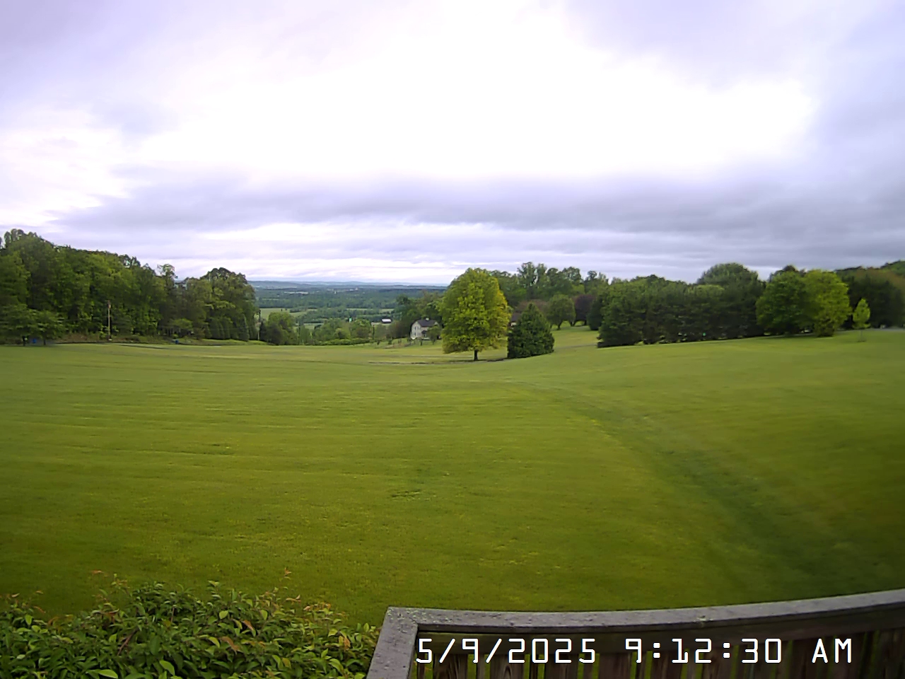
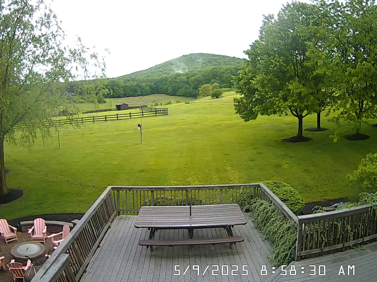
Weather Alerts for ThurmontIssued by the National Weather Service |
![]() ![]() |
||
THURMONT | ||
Areas Affected: District of Columbia - Washington - Frederick - Carroll - Northern Baltimore - Southern Baltimore - Prince Georges - Anne Arundel - Charles - Extreme Western Allegany - Central and Eastern Allegany - Northwest Montgomery - Central and Southeast Montgomery - Northwest Howard - Central and Southeast Howard - Northwest Harford - Southeast Harford - Western Garrett - Eastern Garrett - Augusta - Rockingham - Shenandoah - Frederick - Page - Warren - Clarke - Nelson - Albemarle - Greene - Madison - Rappahannock - Orange - Culpeper - Fairfax - Arlington/Falls Church/Alexandria - Stafford - Spotsylvania - King George - Northern Fauquier - Southern Fauquier - Western Highland - Eastern Highland - Western Loudoun - Eastern Loudoun - Northern Virginia Blue Ridge - Central Virginia Blue Ridge - Northwest Prince William - Central and Southeast Prince William/Manassas/Manassas Park - Hampshire - Morgan - Berkeley - Jefferson - Hardy - Western Grant - Eastern Grant - Western Mineral - Eastern Mineral - Western Pendleton - Eastern Pendleton |
||
Effective: Sun, 7/13 7:36pm | Updated: Sun, 7/13 8:13pm | Urgency: Future |
Expires: Mon, 7/14 2:00am | Severity: Severe | Certainty: Possible |
Details:
* WHAT...Flash flooding caused by excessive rainfall continues to be possible. * WHERE...Portions of DC, including the following , District of Columbia, Maryland, including the following areas, Anne Arundel, Carroll, Central and Eastern Allegany, Central and Southeast Howard, Central and Southeast Montgomery, Charles, Eastern Garrett, Extreme Western Allegany, Frederick MD, Northern Baltimore, Northwest Harford, Northwest Howard, Northwest Montgomery, Prince Georges, Southeast Harford, Southern Baltimore, Washington and Western Garrett, Virginia, including the following areas, Albemarle, Arlington/Falls Church/Alexandria, Augusta, Central Virginia Blue Ridge, Central and Southeast Prince William/Manassas/Manassas Park, Clarke, Culpeper, Eastern Highland, Eastern Loudoun, Fairfax, Frederick VA, Greene, King George, Madison, Nelson, Northern Fauquier, Northern Virginia Blue Ridge, Northwest Prince William, Orange, Page, Rappahannock, Rockingham, Shenandoah, Southern Fauquier, Spotsylvania, Stafford, Warren, Western Highland and Western Loudoun, and West Virginia, including the following areas, Berkeley, Eastern Grant, Eastern Mineral, Eastern Pendleton, Hampshire, Hardy, Jefferson, Morgan, Western Grant, Western Mineral and Western Pendleton. * WHEN...Until 2 AM EDT Monday. * IMPACTS...Excessive runoff may result in flooding of rivers, creeks, streams, and other low-lying and flood-prone locations. * ADDITIONAL DETAILS... - Some showers and thunderstorms continue through late this evening. Storms will be slow moving and capable of producing very heavy rainfall. Rainfall totals of 1 to 2 inches are likely for locations that receive thunderstorms, with isolated totals of 2 to 4 inches. The strongest thunderstorms remain capable of producing 1.5 to 2.5 inches of rain in an hour. - Please visit www.weather.gov/safety/flood for flood safety and preparedness information Information: You should monitor later forecasts and be prepared to take action should Flash Flood Warnings be issued. |